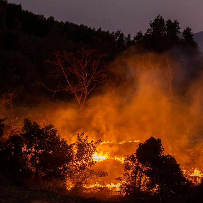
Disturbance Severity
Status: Beta — Operational and in active use with NPS partners
Disturbance Severity uses Sentinel-2 satellite imagery to generate burn severity maps by comparing pre-fire and post-fire conditions. It provides Relativized Burn Ratio (RBR)—appropriate for low-biomass environments like the Mojave Desert—alongside standard dNBR metrics, and links severity to vegetation community data for immediate impact reporting.
Why RBR?
Federal agencies produce burn severity maps after major fires, but these typically use differenced Normalized Burn Ratio (dNBR), which is calibrated for high-biomass forests. In low-biomass environments like the Mojave Desert, dNBR is biased low—even complete vegetation loss produces a smaller absolute difference than a moderate fire in a high-biomass forest.
RBR scales fire intensity to pre-fire conditions at each location, so equivalent ecological damage produces equivalent severity values regardless of landscape type.
Outputs
- Severity rasters: Cloud-optimized GeoTIFFs (dNBR, RBR) for use in GIS or downstream modeling
- Vegetation impact summaries: Severity statistics by vegetation community, formatted for grant applications and reporting
- Interactive map: Web-based visualization of results
Integration with Other Tools
Severity rasters from this tool feed directly into Vegetation Modeling, where they serve as initial conditions for simulating post-fire recovery trajectories.